• Skip to primary navigation
  • Skip to main content
  • Skip to footer

Granta Network Solutions

SEO & Drone Services

  • 360 Photography Services
  • Web Solutions
    • SEO
    • Local SEO in Buckingham & Buckinghamshire
    • SEO in Milton Keynes
  • Drone Services
    • Drone Filming
    • Aerial Inspection Services
    • Drone roof surveys in Buckingham and Buckinghamshire
    • Aerial photography for estate agents
    • Drone Photography Services
    • Our Drones
  • About Us
    • Contact Us
    • Privacy Policy
  • Blog

Harpswell Archaeology

October 23, 2018 By Tim Campbell

One of the consequences of the prolonged period of hot, dry weather that we experienced during the summer of 2018 was that archaeological features became more prominent when viewed from the air.
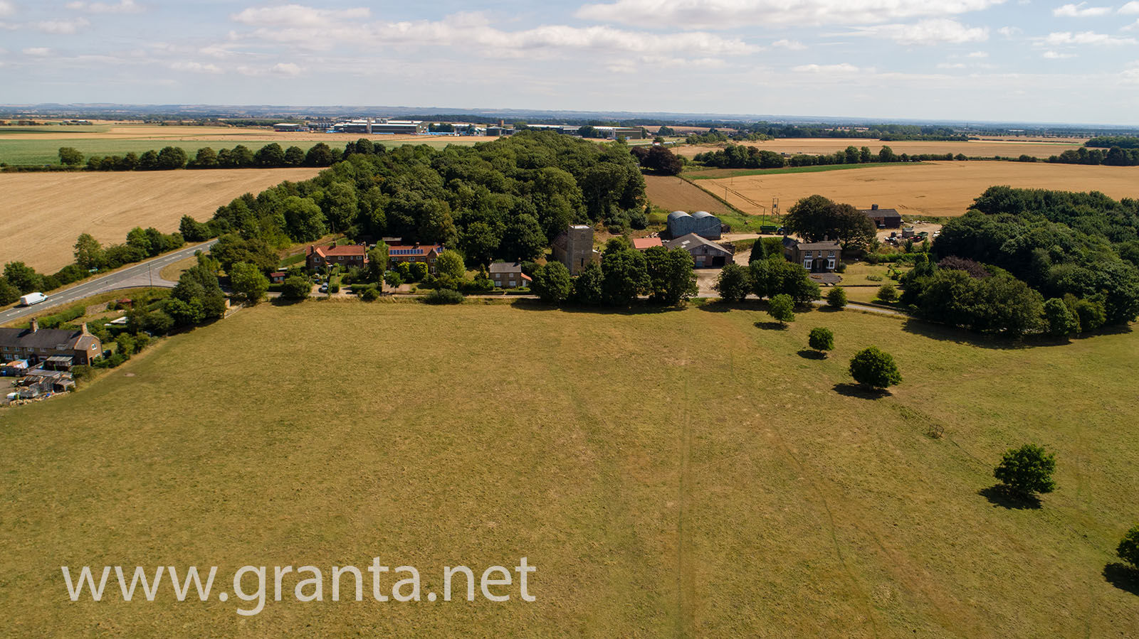
Drone photo of Harpswell archaeology site

This was a real bonus for archaeologists and in some cases led to previously undiscovered finds being identified from aerial photographs.

In July of 2018, we were commissioned to take some aerial photos of just such a historic site, using one of our drones. The site was in Harpswell, North Lincs, not far from RAF Scampton (where the Red Arrows are based).

Although the site is in a rural location, the presence of a nearby, active RAF base and the possibility of military low flying in the area meant that careful planning (as always) was required.

The site itself, a large field looks like this from the air:
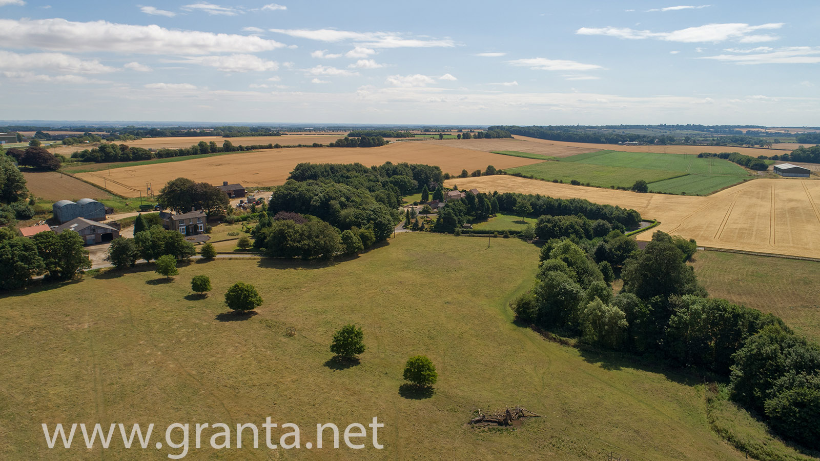
Drone aerial photo of archaeological site near Harpswell in North Lincs

By flying over the entire field and capturing multiple nadir (looking straight down) images, at an altitude of approx 60m, then processing the images using Drone Deploy, we were able to produce an Orthomosaic tiff of the entire site.

This is an extremely scaled down, jpg version of that image:
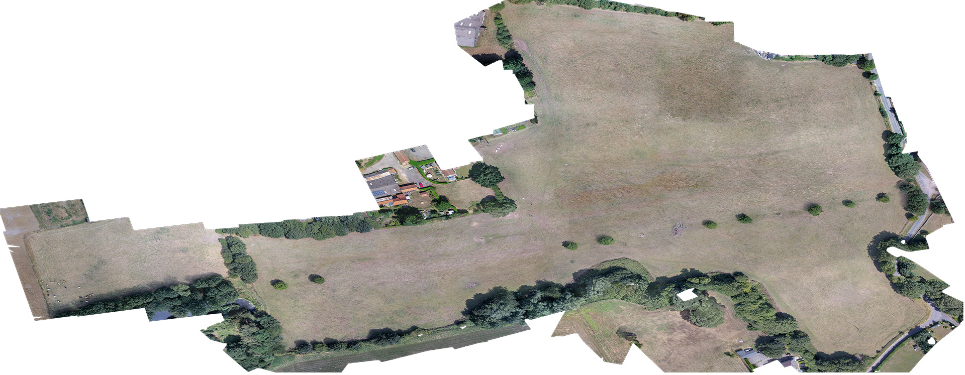
Orthomosaic image of Harpswell archaeology site

The full size, geo-referenced tiff image of the site will be cross referenced with other data from the site when planning future digs.

This is an example of the kind of output we can produce from our drone mapping/surveying services, as well as DEMs, DSMs, NDVI data (currently from an RGB sensor) and more.

« Campden Yurts
Circa Bracknell »
Sky

Footer

Get Social

Follow us on social media for regular updates on what we're up to.

  • Facebook
  • Instagram
  • LinkedIn
  • Twitter

Granta Network Solutions Ltd
Maids Moreton House
Vitalograph Business Park
Buckingham
MK18 1SW

Copyright © 2026 · Granta Network Solutions Ltd

Manage Consent
To provide the best experiences, we use technologies like cookies to store and/or access device information. Consenting to these technologies will allow us to process data such as browsing behaviour or unique IDs on this site. Not consenting or withdrawing consent, may adversely affect certain features and functions.
Functional Always active
The technical storage or access is strictly necessary for the legitimate purpose of enabling the use of a specific service explicitly requested by the subscriber or user, or for the sole purpose of carrying out the transmission of a communication over an electronic communications network.
Preferences
The technical storage or access is necessary for the legitimate purpose of storing preferences that are not requested by the subscriber or user.
Statistics
The technical storage or access that is used exclusively for statistical purposes. The technical storage or access that is used exclusively for anonymous statistical purposes. Without a subpoena, voluntary compliance on the part of your Internet Service Provider, or additional records from a third party, information stored or retrieved for this purpose alone cannot usually be used to identify you.
Marketing
The technical storage or access is required to create user profiles to send advertising, or to track the user on a website or across several websites for similar marketing purposes.
  • Manage options
  • Manage services
  • Manage {vendor_count} vendors
  • Read more about these purposes
View preferences
  • {title}
  • {title}
  • {title}